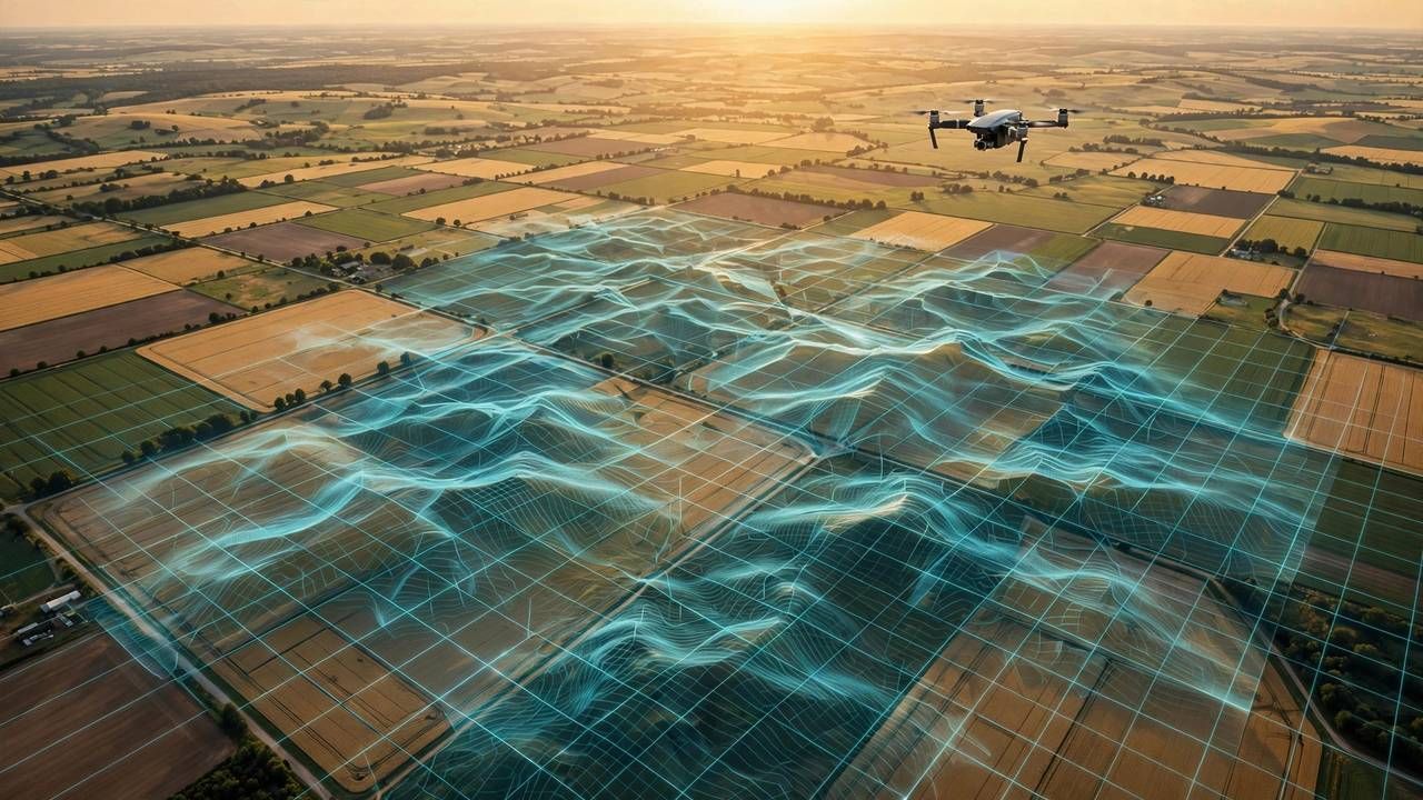
Your drone already takes gorgeous photos — but the same flights can produce survey-grade 3D maps, elevation models, and measurements accurate to centimeters. Photogrammetry software stitches hundreds of overlapping photos into maps that construction crews, farmers, and realtors pay good money for. Here is how beginners get started in 2026.
The Magic: Overlap, Overlap, Overlap
Mapping is not about pretty angles — it is about systematic grid flights with 70–80% photo overlap, front and side. Mapping apps automate this: draw a polygon, set altitude, and the drone flies the lawnmower pattern itself. Fly on overcast days for even lighting; harsh shadows confuse the stitching. Keep the camera pointing straight down (nadir) for your first maps.
Ground Control Points: Your Accuracy Secret
GPS alone gives you meter-level accuracy — fine for pretty models, useless for measurements. Ground control points (GCPs): marked targets on the ground with precisely known coordinates, lock your map to the real world. Even five well-placed GCPs measured with a phone GPS app dramatically improve results. For casual projects, skip them; for anything measured, they are non-negotiable.
Processing: Free Tools That Work
You do not need expensive software to start. OpenDroneMap is free and open-source, producing orthomosaics, 3D point clouds, and elevation models from a folder of photos. Web-based services process in the cloud for a per-map fee — great for occasional projects. Expect a few hours of processing for a few hundred photos; start with a small 2-acre test area before mapping the whole farm.
Rules Before You Fly
Mapping often means flying over other people's property — check local drone regulations first. Many countries require registration, and commercial mapping usually needs a license or certification. Get permission from landowners, keep visual line of sight, and respect altitude limits. The paperwork is boring; the fines are worse.
Start small: map your own backyard this weekend. Once you see a flat photo folder become a rotatable 3D model, you will understand why drone mapping went from military tech to a weekend hobby in a single decade.